
Field Maps
Tile Maps and Simulated Exposure Maps
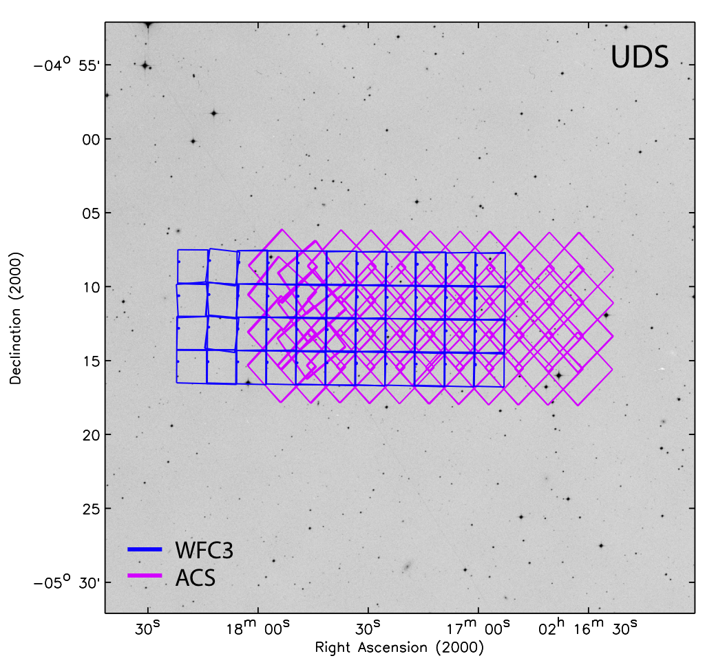
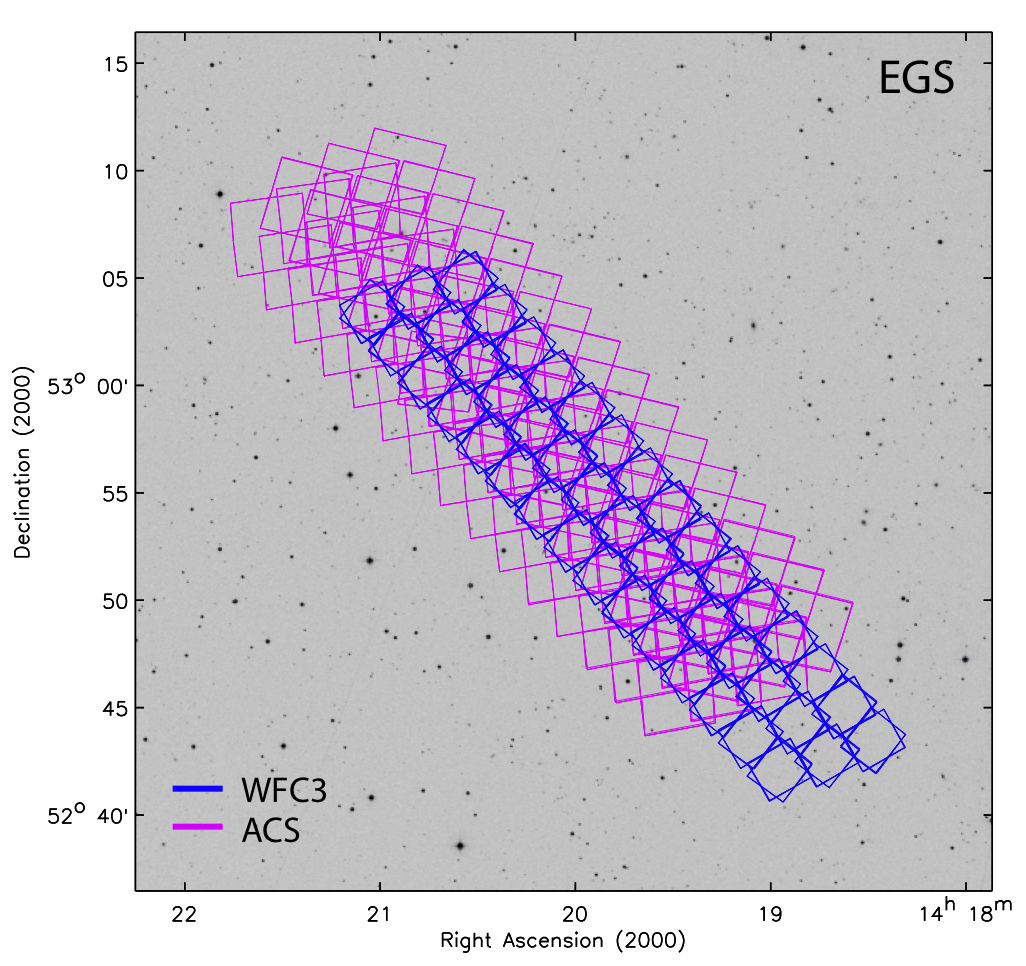
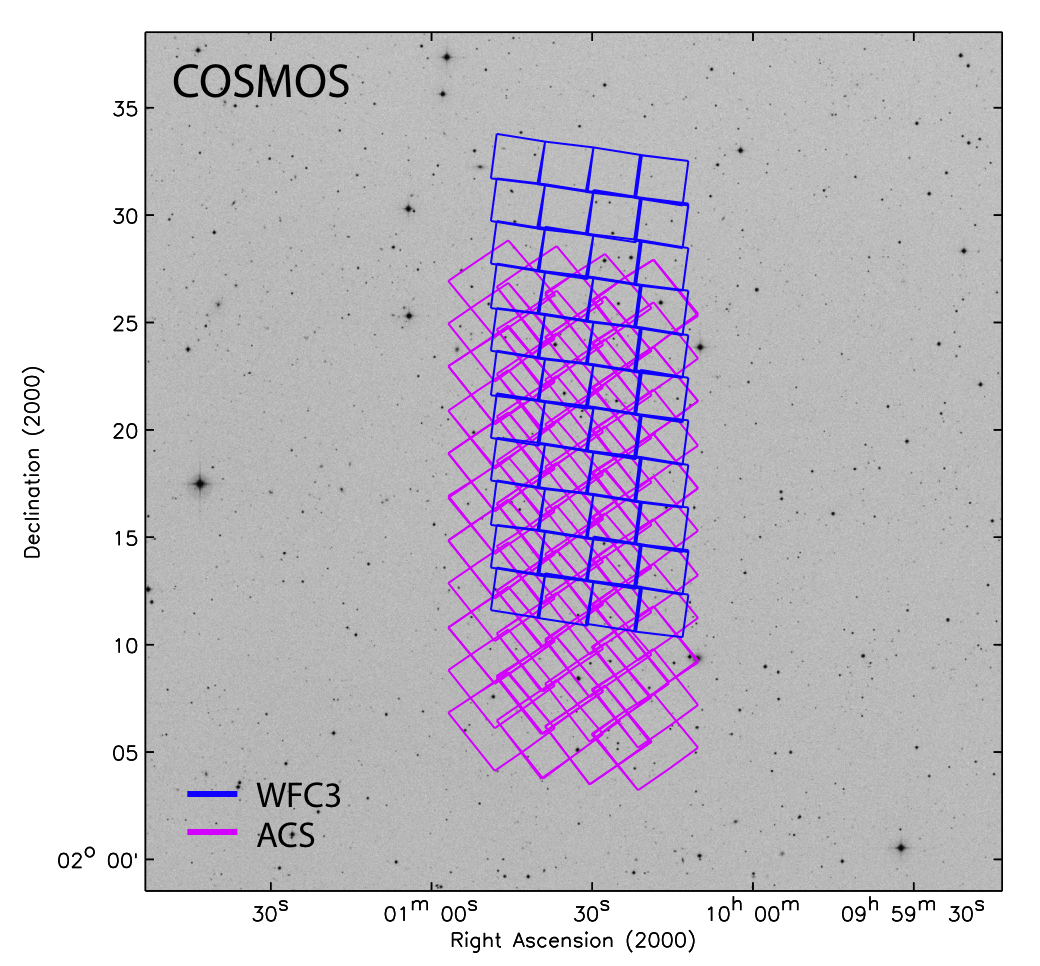
The following table provides summary tile maps of all five CANDELS fields. Detailed tile maps broken down by epoch and filter are available in the Detailed Tile Maps Section or by clicking on the field names below.
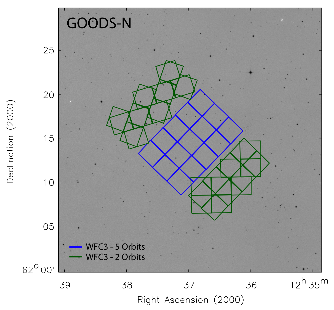
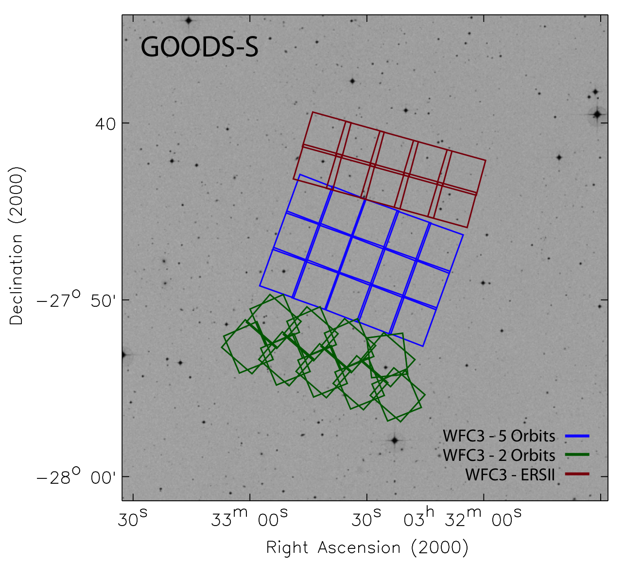
1 For presentation purpose, the ACS parallel exposures are omitted from the GOODS-N and GOODS-S field maps, and a simplified WFC3 tile pattern is shown. See the simulated exposure maps for the ACS field maps and WFC3 tile patterns.
2 Simulated expousre maps in units of seconds. The exposure maps include only new data that CANDELS will contribute. Already existing data (e.g. ACS data in GOODS and WFC3 data in UDF) are not included.
Relative Sizes of All CANDELS Fields
The relative sizes of the fields were drawn to scale in the plot below for comparison.
Click here for PDF version.

Detailed Tile Maps
The following pages provide detailed tile maps for each field broken down by epoch and filter: